

engineering surveying

Engineering Surveying is defined as those activities involved in the planning and execution of surveys for the location, design, construction, maintenance, and operation of civil engineering projects according to the American Society of Civil Engineers. K&M has the latest equipment and experienced staff capable of topographic and bathymetric data collection and construction layout services.

Topographic & Bathymetric Data Collection
Topographic and Bathymetric Data Collection involves gathering detailed information on the horizontal and vertical position of both the land and water bottom surfaces as well as capturing the existing infrastructure and other features on site. K&M employs the latest Trimble equipment to gather this data for project planning and design.

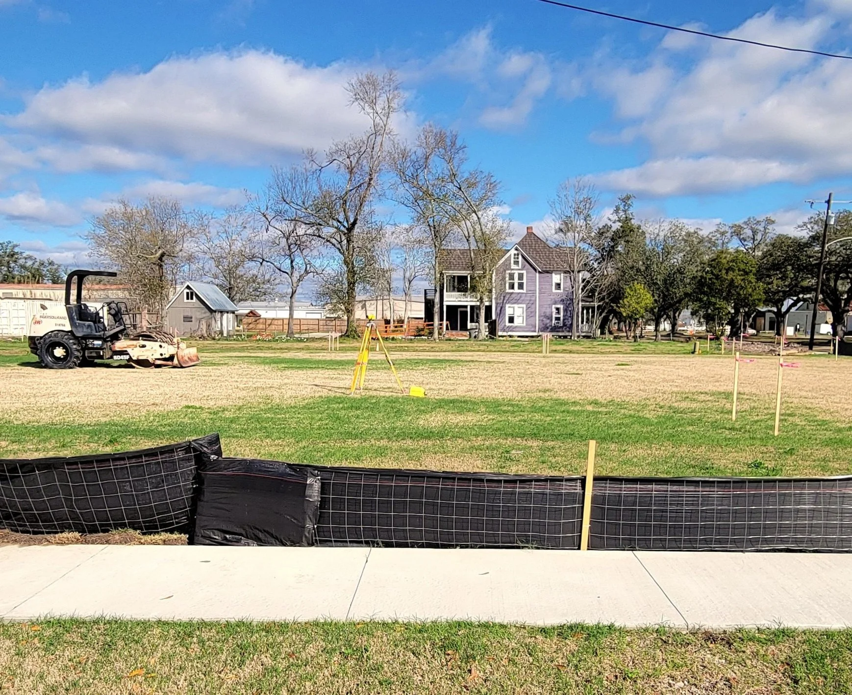
Construction Layout / Stakeout Surveys
Construction Layout / Stakeout Surveys provide control, line, and grade for a wide variety of construction projects. K&M has experienced personnel capable of setting control for and laying out many types of construction projects including drainage features, foundations, building footprints, sanitary sewer features, and water mains and appurtenances.